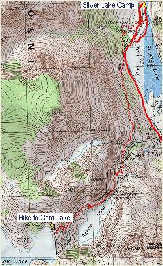
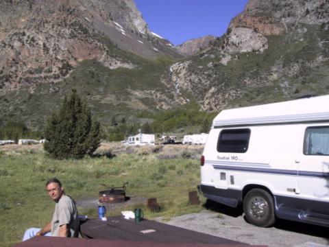
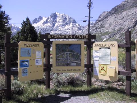
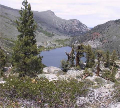
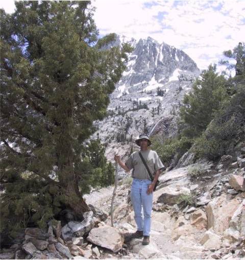
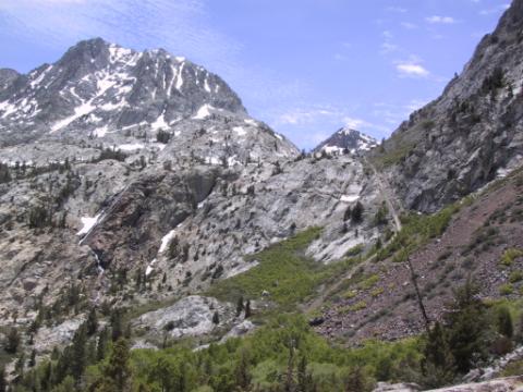
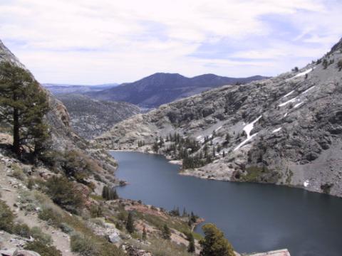
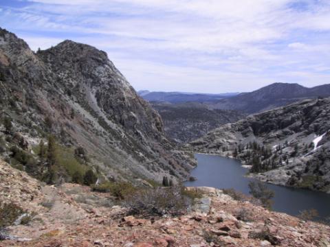
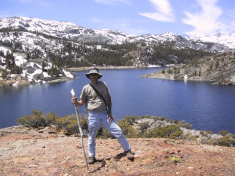
Silver Lake and Hike to Gem LakeJust about 20 miles south of the eastern entrance to Yosemite N.P. is the June Lake Loop, which is home to three good fishing lakes: Grant, Silver, and June lakes. It is also the portal to the Ansel Adams Wilderness. At first I thought it might be too crowded (it was May 31st, Memorial Day Weekend) at over 1/2 full, but after juggling the alternatives I decided to stay at the Silver Lake Campground. Besides, before I had left San Diego, I had researched this Hike from Silver Lake to Gem Lake, and since, as those of you who know me will attest, I'm not much of a hiker, I wanted to take an opportunity to try something at least a little challenging. So I "checked in" to the campground, settled down for the evening and prepared for the hike in the morning. As I got settled in, I started noticing just how pretty it was at the campground itself. It is nestled in a very steep valley with some beautiful snow crested craggy mountains to the north. As the moon came up on the snow topped mountains I realized it was worth it just to be in the camp. Just to the west of the camp, in the picture below, was another waterfall, bigger and noiser than the photo makes it seem. Unfortunately I have no way of taking good pictures of moonlit snow capped mountains at night, so here's a picture of squirrel instead :-). Behind the sign in the photo below you can see the craggy mountain top that is the prominent feature of most shots in this area. Just to the right of it (not visible in this photo) is the pass I will hike thru on the way to Gem Lake. The hike is a 7 mile round trip with a gain of 2200 ft of elevation (from 7200 ft upto 9400 ft). One thing I liked about this plan is that the second half is all downhill! I started by crossing the street and getting to the base of the waterfall shown in the above picture. Then I hiked up and up and up. Below, I'm about 1/3 of the way thru the upward hike. This is about the last place that you can see the camper. That's Silver Lake down there. Can you pick out the Van? :-) I only had to stop gasping for breath about 20 times on the way up (jk!). After I made the turn at the base of the craggy mountain, I STILL had to climb up a bunch more. One thing that looked distinctly less apealing in real life was the tramway track that I had to climb, in the next photo. In the above photo the trail comes in from the right over the red rocks, crosses the track and switches back to the track. Then you hike up the track thru the pass. I'd say the pass is about 1/3 mi away in the above photo. After I came thru that pass I had a view of Agnew Lake. I didn't stop to take any pictures tho .... until I was closer to Gem Lake. In the photo above, I have come thru the pass in the middle left of the picture to see this lake, Agnew Lake and have hiked up another couple of hundred feet to take this picture. Then I hiked some more and took the picture below. After arriving at Gem Lake I had a nice lunch on a rock outcrop about 50 ft above the water. This is sure beautiful country. There was an outstanding view of glacier covered mountains to the South and West .... representing the Ansel Adams wilderness and the eastern part of Yosemite National Park. After Lunch it was only about 2 hours back to Silver Lake and the Van. I was much higher than in the western camps (7200 vs 4000 ft) and after the hike and a beer I were pretty sleepy, so I took a nice nap before making the evening fire! The evening was significantly cooler than in the Western Sierras too. I'd say it got down to the upper 30's that night and once again it was nice to have the Van's heater for the cool night and a warm shower the following morning. I left Silver Lake via the town of June Lake, taking advantage of a free municipal RV station to clean the tanks. I then picked up some fresh water at a rest area about 10 minutes away as I headed south on 395 to Mammoth Lakes for my last night and highest campground .... Continue onto the next page of my Yosemite Trip .. |
